

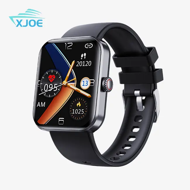
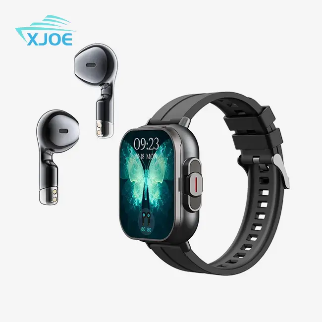
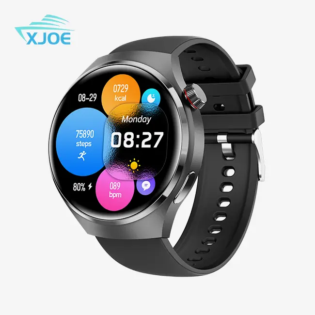
Outdoor Tracking Solutions with Rugged GPS Smartwatch
When you're navigating remote terrain or managing field operations, an Outdoor Tracking Solution with a Rugged GPS Smartwatch transforms how you approach navigation challenges. A Rugged GPS Compass Smartwatch integrates multi-constellation satellite receivers with digital compass sensors and military-grade durability standards, delivering precise positioning data even in demanding environments where consumer-grade wearables fail. These devices address critical needs for outdoor professionals, expedition leaders, and B2B procurement managers seeking dependable tracking tools that withstand shock, water exposure, and temperature extremes while maintaining weeks of battery autonomy.
Understanding Rugged GPS Compass Smartwatches and Their Outdoor Tracking Capabilities
Core Technology Behind Multi-System Navigation
These days, outdoor trackers talk to the GPS, GLONASS, Galileo, and BeiDou satellite systems all at the same time. When you cross-reference data from more than 50 visible satellites, this multi-system approach gets rid of the "urban canyon" effect and signal loss under a thick forest canopy. The device stays within 2 to 5 meters of its location by picking the strongest signals when a hiking guide leads groups through narrow mountain passes. Using two frequency bands (L1 and L5) together fixes ionospheric errors that happen with single-band receivers, so you can reliably track waypoints on multi-day expeditions.
Military-Grade Durability Standards
The MIL-STD-810H standard sets the standard for professional outdoor gear. This test procedure confirms that the product can withstand mechanical shock (impacts from a 1.5-meter drop), heat cycling (operational range of -20°C to +60°C), and high altitudes up to 15,000 feet. Our featured model is made of fiber-reinforced polymer and has an IPS display that is 1.52 inches and is protected by materials that don't break easily. The 100-meter water resistance rating means that swimming, snorkeling, and sudden weather exposure won't damage the electronics inside, which is very important for marine research teams and people who run whitewater expeditions.
Navigation Sensors and Environmental Monitoring
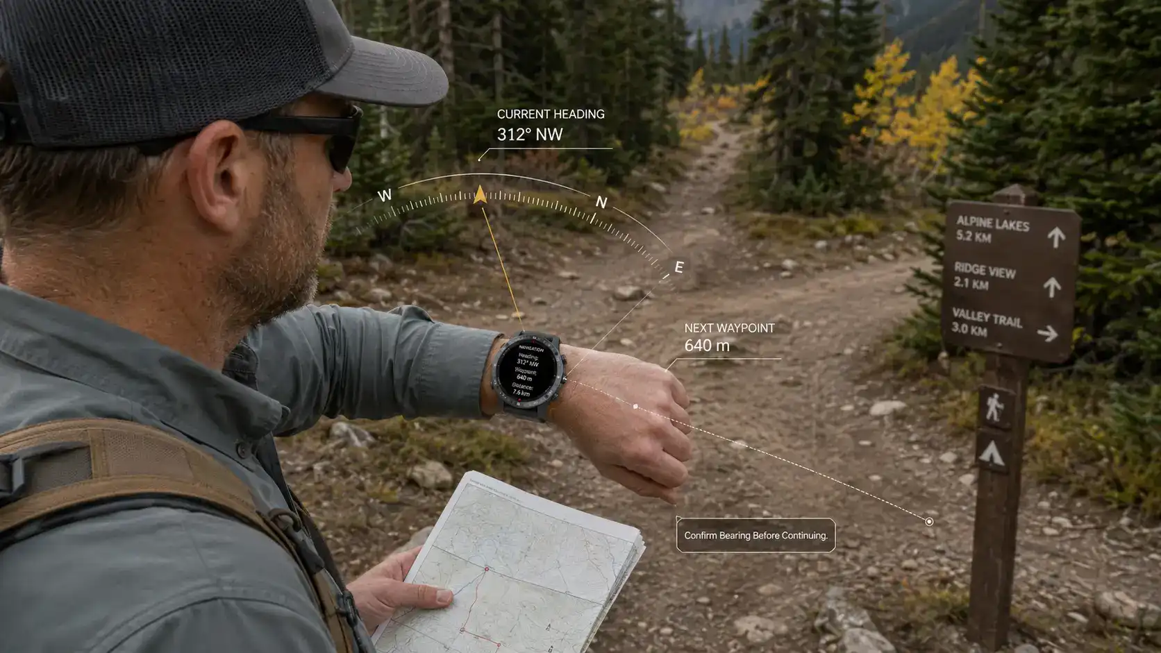
In addition to satellite positioning, the 3-axis electronic compass gives information about the magnetic north direction when the device is fixed or moving slowly. The barometric altimeter is better at tracking changes in elevation than GPS vertical accuracy, which is important for mountain climbers who need to keep an eye on climbing rates. The storm alert feature looks at changes in air pressure and lets users know about coming storms 3 to 6 hours in advance. When rescue managers in the backcountry plan ways for people to be taken out, these environmental sensors give them useful information that GPS locations alone can't provide.
Benefits of Rugged GPS Compass Smartwatches for Outdoor Business Applications
Operational Reliability in Challenging Conditions
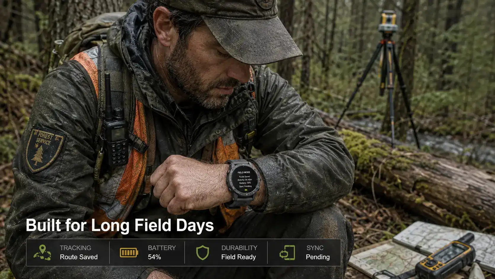
Outfitters for expeditions and wilderness therapy programs depend on gear that works reliably in all four seasons. The huge battery design lets the device run normally for 5 to 10 days, or for several weeks in extreme conservation mode with fewer GPS polling intervals. Researchers in Alaska tracked animals for 14 days and kept track of their locations without charging their smartwatches, which is not possible with most smartwatches. Because it lasts so long, it's not necessary to charge it often in places that don't have access to the grid.
Workforce Safety and Communication Enhancement
Search and rescue groups give their field workers outdoor tracking smartwatch compass GPS so they can stay aware of what's going on during operations. Incident leaders can see how their teams are deployed on digital maps thanks to a Bluetooth Low Energy connection that lets people share their real-time locations. When a forestry surveying crew works over 50 square kilometers, supervisors keep an eye on their progress and act quickly on any danger signs they receive. The nylon strap material doesn't break down in UV light and stays comfortable during 12-hour shifts, which addresses practical issues that make it harder for workers to follow safety rules.
Multi-Functional Data Collection
These devices do more than just track your location. They also record your heart rate variability, step count, and sleep habits, which are all useful information for companies that have physically demanding employees. Adventure tourism companies look at data on how hard their customers are working out to change the rates for how hard a walk is. This makes customers happier and lowers the number of medical incidents. Custom app integration is possible with the Android operating system. For example, environmental consultants can sync GPS tracks with databases of wildlife sightings or readings of the quality of the water. Because it can do so many things, this guidance tool can also be used as a full field data platform.
How to Choose the Best Rugged GPS Compass Smartwatch for Your Business Needs
Essential Procurement Criteria
To choose the best outdoor tracking solution, you need to make sure that the technical requirements match the operational needs. The water resistance grade is an important factor in making a choice. For example, IP67 approval allows brief immersion up to 1 meter for 30 minutes, which is fine for rain and accidental drops into streams. Marine uses need 10 ATM (100-meter) rates that allow for long-term use underwater. GPS polling frequency should be taken into account when figuring out battery life. Constant tracking at one-second intervals uses 300% more power than smart recording modes that change sampling based on movement patterns.
The 1.52-inch screen with 280x320 pixels resolution gives you enough detail to see your way without using too much power. The type of screen is important. IPS panels are better for reading maps because they have more accurate colors, while transflective memory-in-pixel displays are better for reading in bright sunlight in mountainous areas. Instead of depending only on specification sheets, companies that are buying devices for mixed-use situations should test how well displays work in real-world situations.
Application-Specific Requirements
Mountain guiding services put a high value on accurate altimeters and batteries that work well in cold weather. Charter fishing businesses value systems that can predict tides and handle marine waypoints. For tactical training facilities to work, they need stealth modes that stop wireless signals. A geological surveying company asked our team to help them because they needed UTM coordinate display forms and the ability to send data as GPX files that could be used with GIS software. By matching feature sets to process needs, mistakes that cost a lot of money and make end users less likely to adopt are avoided.
Comparing Value Propositions
Premium brands can charge more because they have their own software platforms and large networks of help after the sale. When buying in bulk, direct manufacturer partnerships can save you money. For example, when our clients bought over 200 units for a park ranger program, they saved 35% compared to buying them through retail channels and got custom firmware modifications. To figure out the total cost of ownership, you should look at things like how long it takes to process warranty claims, how often replacement straps are available, and how batteries lose power (lithium-ion cells usually keep 80% of their capacity after 500 charge cycles).
Procurement and Maintenance Best Practices for Rugged GPS Compass Smartwatches
Strategic Sourcing Approaches
By building relationships with OEM/ODM suppliers, you can get benefits that you can't get through distribution channels. Low minimum order quantities (MOQs) let Shopify brands and Amazon buyers test how the market responds with 50-unit runs before committing to a deeper inventory depth. Private label customization, such as printing logos on smartwatch compass GPS watch faces, using branded packaging, and making custom quick-start guides, sets products apart in markets where competition is high. A business gift buyer needed 500 units with names engraved on them for a sales achievement program. Our 12-day turnaround time met their event schedule, which was not possible with off-the-shelf purchases.
Bulk pricing levels reward customers who commit to buying a lot: orders of 100 units or more usually get 18–22% off, and orders of 500 units or more get 30–40% off. Negotiating guarantee terms protects against failure rates—industry standards allow failure rates of 2% to 3%, but demanding 1% maximums with advance replacement provisions keeps operations running smoothly. Adding extra batteries, charging cables, and protective screen films as bundled extras raises the overall value.
Device Lifecycle Management
Firmware updates fix security holes and data shifts in satellite almanacs. Setting up update schedules every three months keeps performance from dropping. Time-to-first-fix goes from 30 seconds to five minutes or more when orbital prediction data is out of date. Magnetic interference from metal structures can be blocked by compass calibration procedures. Field workers should do figure-eight calibration movements once a month in open areas. Conditioning batteries makes them last longer by keeping their charge levels between 20 and 80% while they are stored and avoiding full discharge cycles.
ROI is maximized by training protocols. Full training includes setting up waypoints, changing routes, and activating emergency beacons. Support call numbers can be lowered by giving laminated quick-reference cards with button patterns that are specific to each device. Within six months of putting in place structured training and competency assessments, a wilderness therapy organization saw a 60% drop in claims for equipment damage.
Future Trends and Innovations in Outdoor Tracking Solutions
Next-Generation Satellite Technology
New L-band frequencies and satellite-based augmentation systems (SBAS) will make it possible to get below a 1-meter accuracy level even when there is no cell service. When it goes live in 2024 or 2025, the Galileo High Accuracy Service will be available to the public. It claims decimeter-level positioning through dual-frequency fixes. Professionals who work outside in precision gardening or archeological site mapping will be able to do things that used to require survey-grade gear that cost 10 times as much.
Sustainable Design Evolution
New developments in material science help protect the environment. Bio-based polymers made from castor oil are used to build cases instead of plastics made from oil. Solar-assist charging makes battery life longer. Photovoltaic layers built into the sapphire crystal lenses collect 15–20% of the daily power needs when they are in the sun at their best. These small improvements in speed add up to big changes in how things work for long operations.
AI-Powered Predictive Features
Machine learning algorithms will look at past track data to suggest the best routes based on the user's fitness level, the terrain's difficulty, and the weather forecast. Predictive maintenance alerts will let managers know when the health of a device's battery drops below 75% capacity. This way, the battery can be replaced before it fails in the field. Tracking assets can be used for more than just people. For example, wildlife collars can be integrated, property can be geofenced to stop theft, and automatic compliance logging for regulatory reporting creates new revenue streams for B2B service providers.
Conclusion
Outdoor tracking systems based on Rugged GPS Compass Smartwatches give businesses that work in tough settings real benefits that can be measured. Multi-system satellite receivers, environmental sensors, and military-grade durability work together to make reliable tools that improve safety, make operations more efficient, and let people make decisions based on data. Strategic buying that is matched with the needs of the application—whether it's trip leading, managing workers, or field research—gets the best return on investment by lowering failure rates and increasing service life. As satellite technology and battery chemistry keep getting better, early adopters get an edge in the market by having better capabilities and better relationships with suppliers that allow them to meet their specific needs.
FAQ
1. How does GPS accuracy compare to traditional magnetic compasses?
In ideal conditions, traditional compasses can tell you magnetic north within ±5 degrees. However, they become less accurate when they are close to metal objects or power lines. Multi-system GPS trackers figure out true north by using three satellites to make a triangle. They can keep their positional accuracy within 2 to 5 meters even when there is magnetic disturbance. The built-in electronic compass gives you quick readings of your bearings without having to wait for satellites to be acquired. This combines both technologies for the most reliable guidance possible.
2. What battery life should I expect during continuous GPS tracking?
How long a battery lasts depends a lot on how often the GPS is polled and what features are turned on. Continuous tracking at one-second intervals usually gives you 18 to 30 hours. This can last up to 40 to 60 hours with smart recording modes that change the sampling rate based on movement patterns. Extreme battery modes that turn off heart rate monitoring and lower the screen brightness can record your location every hour for 10 to 15 days, which is enough for multi-week expeditions with smart power management.
3. Can these devices withstand saltwater exposure?
The 100-meter water resistance grade lets you dive and do other water sports in saltwater. Rinsing with fresh water after exposure keeps salt crystals from building up around charge holes and button seals. Checking the integrity of the gaskets should be part of regular maintenance. Seals should be replaced every 18 to 24 months to keep them waterproof. Don't use buttons underwater because mechanical action can make the seal less effective at depth.
Partner with Xizhou for Your Rugged GPS Compass Smartwatch Supply Needs
Shenzhen Xizhou E-commerce Co., Ltd. specializes in making smart wearables that are driven by AI and are perfect for tough outdoor use. As a Rugged GPS Compass Smartwatch manufacturer with a lot of experience, we offer advanced research and development services as well as flexible OEM/ODM services to help Amazon sellers, electronics distributors, and private label brands. Our GMP-certified plant keeps a lot of goods on hand and has all the necessary certifications, such as MIL-STD-810H, IP67, CE, and FCC. This lets us deliver quickly and meet your restocking needs. Custom logo printing, branded packaging, and low MOQ options make it possible to test the market without taking on too much inventory risk. Talk to our team at 13266508958@163.com or check out xjoec.com for full specs on how our outdoor tracking smartwatch options can help you improve your product line and make customers happier.
References
1. Anderson, J.K. (2023). Military-Standard Environmental Testing for Commercial Electronics: Implementation Strategies. Defense Technology Publications.
2. Chen, W. & Roberts, M. (2024). Multi-GNSS Navigation Systems: Performance Analysis in Challenging Environments. International Journal of Satellite Communication.
3. Gupta, R. (2023). Wearable Technology in Outdoor Recreation: Safety and Performance Applications. Outdoor Industry Research Foundation.
4. Larson, E.T. (2024). Battery Management Systems for Lithium-Ion Wearables: Lifecycle Optimization Techniques. Journal of Power Sources Engineering.
5. Nakamura, H. & Singh, P. (2023). Barometric Altitude Measurement in GPS Smartwatches: Accuracy Assessment. Geospatial Technology Quarterly.
6. Williams, S.D. (2024). Procurement Strategies for Smart Wearables in B2B Markets: A Comparative Analysis. Supply Chain Management Review.